Accurate Existing Conditions
Capture dimensions, geometry, and spatial relationships directly from the site to create a reliable reference for the work ahead.
Capture accurate site conditions and turn them into usable project data for BIM modeling,
coordination, as-built documentation, and construction planning.
Existing conditions are the starting point for every decision that follows.
3D laser scanning captures spaces, structures, and building elements with a high level of accuracy, creating a reliable digital record of the site.
Instead of relying on repeated field measurements or incomplete existing drawings, project teams can work from captured conditions throughout design, coordination, and documentation.
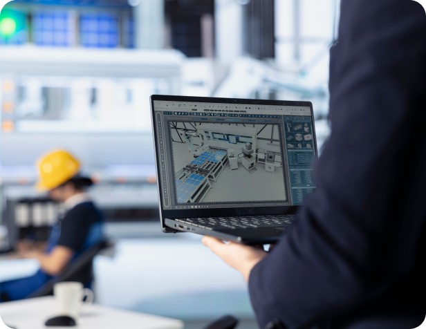
Capture dimensions, geometry, and spatial relationships directly from the site to create a reliable reference for the work ahead.
Capture extensive site information in a single scanning session, reducing the need to return for measurements that were missed the first time.
Give designers, engineers, contractors, and project teams access to the same existing-condition data for planning, modeling, and documentation.
Capture existing buildings and spaces to create accurate as-built drawings and documentation based on current field conditions.
Convert point cloud data into coordinated BIM models that provide a reliable digital representation of existing conditions.
Document structural elements, equipment, and facility conditions for renovation, coordination, planning, and ongoing facility use.
Capture complex existing geometry and architectural details digitally before restoration, renovation, or preservation work begins.
Document site conditions and construction progress at key stages to support review, coordination, and project records.
Capture interior spaces, façades, and exterior conditions with the accuracy needed for design and documentation.
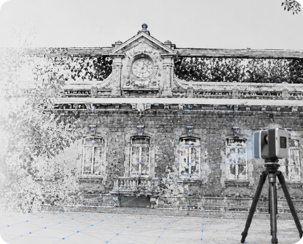
We capture the required existing conditions on site using professional 3D laser scanning equipment.
Individual scans are registered and combined into a coordinated point cloud, creating a detailed digital record of the captured spaces and structures.
We use the captured data to develop BIM models, CAD drawings, and as-built documentation aligned with your project scope.
A detailed digital record of captured site conditions that can be referenced throughout the project.
Existing-condition models developed from scan data for design, coordination, renovation, and documentation.
Plans, elevations, sections, and other drawings developed from captured field conditions.
Clear documentation of what currently exists on site, ready to support the next stage of work.
We understand how field data will be used after the scan — from BIM modeling and coordination to drawings and construction documentation.
The scope is defined around what your team actually needs, whether that's point cloud data, a BIM model, CAD drawings, or as-built documentation.
Scanning, processing, modeling, and documentation can stay within one workflow, reducing handoffs between separate providers.
Read More about Tim Moren's project"Thanks again for the outstanding quality
Tim Moren. TM Built, Inc.
of work and quick turnaround."